Beeliar Regional Park
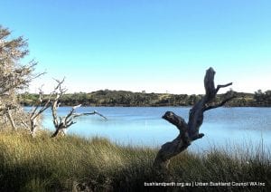
Beeliar Regional Park contains a large range of coastal wetlands in the south western corridor in the cities of Melville, Cockburn and Kwinana. It provides a wonderland of nature appreciation options.
The Beeliar Wetlands are internationally significant. The entire Park has been placed on the Interim List of the Register of the National Estate, while Booragoon Lake, Thomsons Lake and The Spectacles have been listed on the Directory of Important Wetlands in Australia (Environment Australia 2001).
Thomsons Lake (in conjunction with Forrestdale Lake) has been listed as a wetland of international importance under the Ramsar Convention. Many wetland areas in the Park have also been identified as locations for JAMBA / CAMBA/ROKAMBA migratory bird species.
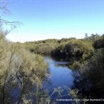
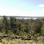
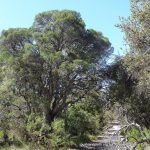
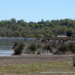
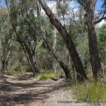
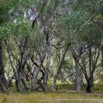
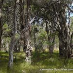
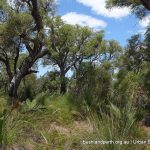
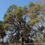
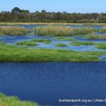
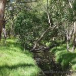
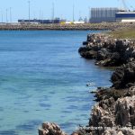
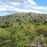
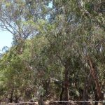
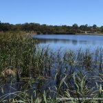
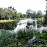
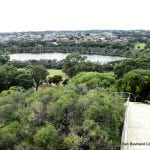
Beeliar Regional Park provides significant landscape and amenity value to the region. Many landscapes contribute to the overall high visual quality of the Park. These include vegetated uplands consisting of mature woodland and forest areas, vegetated wetland areas, extensive areas of open water and areas of well maintained grassed parkland. The coastal environments of the Henderson foreshore area, which comprises limestone cliff formations and coastal vegetation, also add another positive dimension to the Park’s landscape amenity.
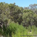
The vegetation communities found within Beeliar Regional Park are significant as they represent communities which were once widespread on the Swan Coastal Plain but are now heavily cleared. The vegetation within the Park comprises both structural and floral diversity expressed as a diverse series of landscapes. A number of Park areas contain priority flora species, as well as a large number and wide range of plant communities some of which are in very good condition.
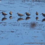
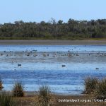
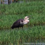
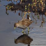
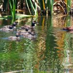
The diversity of habitat is important to wildlife utilising the Park. The wetlands and surrounding areas provide important nesting and feeding habitats and because of their high biological productivity, they directly or indirectly support most of the wildlife of the region. Additionally, some wetlands in the Park act as summer refuges for a diverse bird population, many of which are transequatorial migratory waders.
Cultural Values
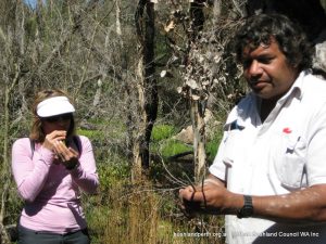
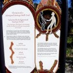
Beeliar Regional Park has cultural significance to both Aboriginal and non-Aboriginal people. There are numerous Aboriginal sites within, or immediately adjacent to the Park which have been registered with the Department of Indigenous Affairs.
The wetlands of Beeliar Regional Park holds significance for the local Aboriginal people (Whadjuk Nyungars) as they were important camping, ceremonial areas and sources of food.
The eastern chain of wetlands was a part of a major trade route between Aboriginal people in the Swan and Murray River areas. North Lake and Bibra Lake in particular are areas of spirituality for the Whadjuk Nyungar people.
Non-Aboriginal people also have historical connections to the area. Thomas Peel first occupied the area in 1830 and established the Clarence settlement near Mt Brown. However, it was not until the late nineteenth century that intensive agriculture commenced in the area, coinciding with the gold rush in the 1890s.
Landscape Values
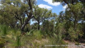
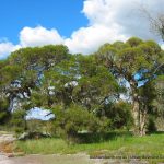
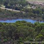
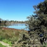
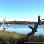
Beeliar Regional Park provides significant landscape and amenity value to the region. Many landscapes contribute to the overall high visual quality of the Park. These include vegetated uplands consisting of mature woodland and forest areas, vegetated wetland areas, extensive areas of open water and areas of well maintained grassed parkland.
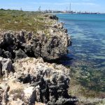
The coastal environments of the Henderson foreshore area, which comprises limestone cliff formations and coastal vegetation, also add a dimension to the Park’s landscape amenity.
Bushland Appreciation
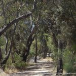
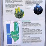
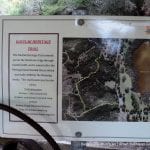
In particular, Thomsons Lake, Bibra Lake, Piney Lake, Manning Lake, the Henderson Foreshore, Mount Brown, and The Spectacles provide excellent, relatively easy, walk trails encompassing a variety of habitats. Appendix B (pp 66-67) of the management plan outlines the trails and access points to the network.
Park Components
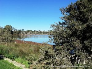
Beeliar Regional Park comprises numerous separately designated areas which can be identified at page 10 of the management plan. Areas within the Park have been the subject of numerous studies, and a wide range of literature exists that covers the biological, cultural and recreational aspects of the Park. Detailed information on specific locations is mostly available via a Google Map search.
Components having published information include: Blue Gum Lake, Booragoon Lake, Piney Lakes, North Lake, Bibra Lake, Little Rush Lake, Yangebup Lake, Thomsons Lake Nature Reserve, Lake Coogee, Market Garden Swamps, Henderson Region (Mount Brown and Brownman Swamps).
Bibra Lake
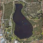
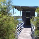
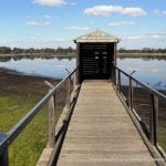
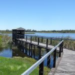
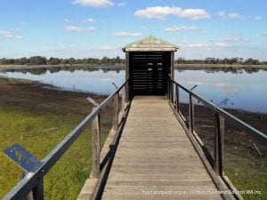 Bibra Lake is the recreational hub of the Beeliar Regional Park. It has a variety of attractions, including a regional children’s playground, extensive picnic areas, Adventureworld, the Cockburn Ice Arena, Native ARC and the Wetlands Centre. There is a 6.2 km concrete path around the lake, with two hides and two jetties, from which visitors can obtain excellent views of the birdlife. The path is also suitable for wheelchairs and bicycles. As well, the Woodland to Wetland walktrail is very rewarding. Download further information here.
Manning Lake
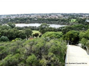
Situated in Hamilton Hill, Manning Lake is a popular recreational area in the western chain of the Beeliar wetlands. It has the Azelia Ley historical museum, plus an orchestral shell and amphitheatre, extensive grassed picnic areas and a children’s playground. There is a short circuit trail around the lake (1,5 km) with three vantage points for bird watching. There is also a popular bush walk called the Davilak Heritage Trail (2.5 km) which starts at the Azelia Ley homestead and climbs to the top of the limestone ridge. There are three lookouts on the ridge, and these provide spectacular views over the Lake and Owen Anchorage.
Piney Lake
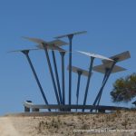
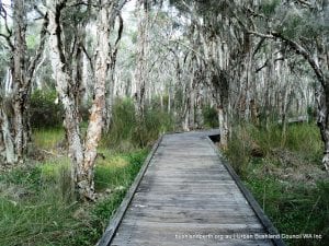 Piney Lake in Winthrop is the site of the City of Melville’s Environmental Education Centre. The reserve includes a seasonal wetland, with a boardwalk and a 1 km circuit trail. This trail also has some interesting environmental sculptures and interpretive signage. The remainder of the reserve includes a grassed picnic area, a children’s sensory playground and an ornamental pond, which often attracts waterbirds. It is a popular spot for picnics and bushwalks.
Thomsons Lake Nature Reserve
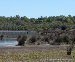
Thomsons Lake is encircled by a main walking track, accessible from gates on on Russell Road and Branch Circus. There is a delightful walk of about two hours duration (8km) but care needs to be taken to watch for snakes which are occasionally seen on the path.
The circuit may also be overlapped at the northern end and on the eastern side by rising Lake waters in wetter months. A detailed management plan is available for this Reserve. Thomsons Lake is a Bush Forever site. Download the Thomsons Lake Bush Forever listing here.
The Spectacles
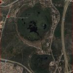
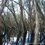
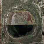
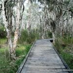
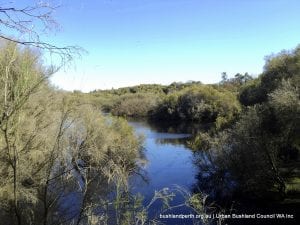 The Spectacles, like Thomsons Lake is circled by a main walk track accessible from a gate on McLaughlan Road. This is also a delightful walk of about two hours (7km) duration but again, care needs to be taken to watch for snakes which are occasionally seen on the path. There is also (signed) a short option for a walk through the Banksia woodland. A lovely feature of the loop walk is a boardwalk to the centre of the paperbark forest from which the birdlife can be observed. The Spectacles is a Bush Forever site. The Spectacles Bush Forever listing is here.
Henderson Cliffs, Mount Brown, Brownman Swamp.
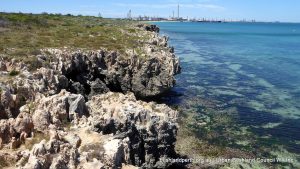
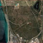
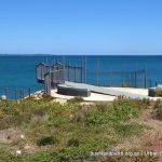
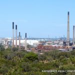
The Henderson Region of the Park offers a variety of landscapes including the Henderson Cliffs overlooking Cockburn Sound (viewing platform). A walk up Mount Brown is a must, resulting in great views all round. Henderson/Mount Brown is a Bush Forever site.
Bush Forever Site Map Download. Bush Forever Description Download. Bush Forever Species List Download.
